

There is something about a great American road trip that just feels right. No airport lines. No rushed itineraries. Just you, the open road, and some of the most breathtaking scenery this country has to offer.
Whether you are planning a bucket-list adventure or just dreaming for now, these 23 drives are worth putting on your list. We have got coastlines, mountain passes, wildflower fields, and historic byways, something for every kind of traveler.
The East Coast and the South
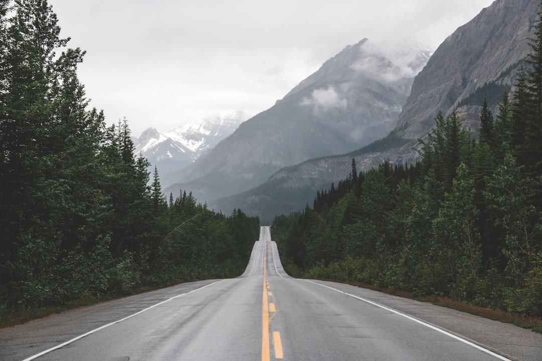
Blue Ridge Parkway, North Carolina and Virginia. This 469-mile drive connects Shenandoah National Park in Virginia with Great Smoky Mountains National Park. It was built for exactly the kind of traveler who wants to slow down and take it all in. Fall brings rolling waves of color. Summer offers a full canopy of green. You can even pan for gold and gemstones in the mineral-rich Appalachian Mountains along the way. The parkway is home to over 150 species of birds.
U.S. 1, Florida Keys. From Key Largo to Key West, the Overseas Highway strings the islands together like beads on a necklace. You will pass lighthouses, coral reef parks, and the postcard-famous Seven Mile Bridge. In Islamorada, you can hand-feed tarpon that are more than six feet long. On Big Pine Key, keep an eye out for the tiny Key deer at the National Key Deer Refuge.
Ocean Drive, Newport, Rhode Island. This 10-mile coastal route packs in Gilded Age mansions and sweeping water views. The opulent homes were built by the titans of late-nineteenth-century industry. History buffs will want to stop at Fort Adams, built in the 19th century and active on and off for about 150 years.
Kancamagus Highway, New Hampshire. New Hampshire’s 34.5-mile Kancamagus Highway runs through the White Mountains from Lincoln to Conway. Fall leaf-peepers come in September and October to see the trees blazing in full color. A highlight is the half-mile hike to Sabbaday Falls, a multi-tiered waterfall easily reached from the road.
Park Loop Road, Acadia National Park, Maine. The 27-mile loop through Acadia National Park showcases dense forest and the rugged North Atlantic coast. An oceanside inlet called Thunder Hole explodes with a plume of foamy surf as waves hit the shore. If you have extra time, spend a morning on a lobster fishing boat.
Route 6, Massachusetts. The eastern stretch of Route 6 links Cape Cod’s sand dunes, beaches, and fishing towns. Follow it to Provincetown’s art galleries, to the bay side for family beaches, or oceanside for views of Cape Cod National Seashore. Between mid-April and October, whale-watching boat tours offer a chance to spot humpback whales.
Highway 143, Tennessee. This 12.5-mile drive through the Roan Highlands of the Appalachians reveals slopes covered in purple blossoms. The highlands portion of the Appalachian Trail is known for its “balds”, summits covered in grasses instead of trees. Stop at Carvers Gap, just across the North Carolina border, to take it all in on foot.
The Midwest and the Plains
Lake Shore Drive, Chicago, Illinois. This urban drive runs the full length of Chicago along Lake Michigan. The skyline is stunning, from the Willis Tower (once the tallest building in the world and formerly known as the Sears Tower) to The Rookery with its Frank Lloyd Wright-designed lobby. Break up the drive with a stop at Millennium Park to see the famous Cloud Gate sculpture, known as “The Bean.”
North Shore Scenic Drive, Minnesota. Minnesota’s Lake Superior shoreline rewards slow driving. In Duluth, a waterfront walking path showcases a rose garden and an aerial bridge. About 30 minutes away in Two Harbors, the Split Rock Lighthouse, now a museum, overlooks the rugged coast. You can also spot ocean tankers waiting to load iron or grain at the last inland port of the St. Lawrence Seaway.
Pierce Stocking Scenic Drive, Michigan. Only 7.4 miles long, this short drive along Lake Michigan’s eastern shore shows off the Sleeping Bear Dunes National Lakeshore, dense forest, and striking lake views. Before closing the loop, you will cross a covered bridge reconstructed from one Pierce Stocking himself built in the 1960s. Add five minutes on South Dune Highway for views of Glen Lake after a hike up the Dune Climb.
Highway 2, Nebraska. Drive any stretch of Highway 2 for sweeping views of Nebraska’s Sandhills; grass-covered sand dunes that create slow, hypnotic curves across the Great Plains. Stop at the Crane Trust Nature and Visitor Center just off Highway 2 in Wood River to watch for cranes, or pull into one of the small towns along the way.
The Mountain West
Trail Ridge Road, Colorado. This is the highest paved through-road in the United States, climbing as high as 12,183 feet through Rocky Mountain National Park. The road follows a route similar to one Native Americans once traveled, crossing the Continental Divide. Elk, deer, and bighorn sheep can be spotted above the tree line. After two to three hours of driving, you reach Grand Lake, Colorado’s largest natural lake. Note: Trail Ridge Road is only open in good conditions, typically from late May through fall.
Going-to-the-Sun Road, Montana. This 50-mile drive runs along the spine of the Rockies past Glacier National Park’s snow-capped peaks and crystal lakes, crossing the Continental Divide. It takes about two hours to drive and is typically fully open starting around late June. A day tour with the Glacier Institute is a great way to learn about the geology, wildlife, and history of the area.
Beartooth Highway, Montana. Often called both the “Highway to the Sky” and “The Most Beautiful Roadway in America,” this stretch of U.S. 212 connects Red Lodge, Montana, with Yellowstone National Park. It features steep switchbacks and expansive mountain views. The Vista Point Observation Site offers a breathtaking overlook. The road is generally open from around Memorial Day weekend through mid-October.
Route 12, Utah. This 122-mile route winds between Capitol Reef and Bryce Canyon national parks through red rock canyons, small towns, and a narrow cliff-hugging road called the “Hogsback.” Stop in at Escalante’s Kiva Koffeehouse, open Wednesdays through Sundays from April through October, for coffee and a stunning view of Grand Staircase-Escalante National Monument.
Lemhi Pass, Montana and Idaho. Meriwether Lewis crossed the Continental Divide at Lemhi Pass in 1805. Today, determined visitors with four-wheel drive can travel the same historic ground on Forest Service roads from either the Beaverhead-Deerlodge National Forest in Montana or the Salmon-Challis National Forest in Idaho. The annual Lewis and Clark Festival in Great Falls, Montana, about three hours from the Beaverhead-Deerlodge National Forest, is a wonderful time to go.
The High Road to Taos, New Mexico. The scenic route between Santa Fe and Taos passes ancient pueblos, forests, and artists’ studios. The High Road to Taos Scenic Byway runs through Chimayo, known for art and history. Both Santa Fe and Taos are full of color and personality. If you visit in summer, the Santa Fe Opera offers outdoor concerts.
The Pacific Coast and the Northwest
Pacific Coast Paradise, California to Washington. This route stretches more than 1,000 miles, connecting Seattle to Santa Barbara. It winds past major cities, vineyards, and national parks along the way. Stop in Portland for shopping, or head to Tillamook, Oregon, for cheese and small-town charm. Further south, the Pinnacles National Park, shaped by ancient volcanic eruptions offers breathtaking spires and deep canyons.
Highway 101, Oregon. Oregon’s entire Pacific shoreline is owned by the state and open to the public. The more than 360 miles of coast along Highway 101 offer unobstructed natural views. Between Port Orford and Brookings, fierce sea cliffs give way to pastoral farmland. Pull over at the Prehistoric Gardens to see 23 life-size dinosaur replicas staged in a rainforest landscape.
Olympic Peninsula Loop, Washington. Highway 101 loops around one of the largest wilderness areas in the continental United States. Highlights include the Hoh Rain Forest, dominated by ancient Sitka spruce and western hemlock, and Hurricane Ridge with its endless views, about 18 miles off the loop from Port Angeles. At low tide, the beach pools are full of starfish and crabs. The full loop takes about six hours without stops.
17-Mile Drive, California. This privately owned road loops around the Monterey Peninsula from Pacific Grove to just above Carmel-by-the-Sea. It hugs the Pacific coast past seven championship golf courses, surf-beaten cliffs, and harbor seal colonies. The entry fee is $12.50, which is reimbursed with a $35 or more purchase at a Pebble Beach Resorts restaurant. Nearby, the Monterey Bay Aquarium features ocean-view decks and a million-gallon tank with giant sharks and sea turtles.
Silverado Trail, California. For those who love great food and wine, Napa Valley’s Silverado Trail may be the best drive of all. Vineyards and wineries line both sides of the road. At Stag’s Leap Wine Cellars, the Estate Collection tasting showcases a 1973 cabernet that made headlines for beating French wines in a blind taste test. And in Yountville, the three-Michelin-star French Laundry restaurant is considered one of the finest dining experiences in America.
Hawaii and Alaska
Hana Highway, Maui, Hawaii. The T-shirts say it all: “I survived the road to Hana.” The 52-mile drive from Kahului to Hana can take two to four hours as you wind past steep sea cliffs and narrow one-lane bridges. Stop to buy banana bread from roadside markets along the way. In Hana itself, there is a secluded red-sand beach on the eastern shore. About 30 minutes beyond town, the multi-tiered Pools of Oheo cascade gently through Haleakala National Park.
Anchorage to Valdez, Alaska. This 300-mile route connects the Glenn and Richardson highways, passing prehistoric glaciers and seemingly endless mountain peaks. In Palmer, you can view domesticated musk oxen, Ice Age wonders prized for their wool. The Trans-Alaska Pipeline appears and disappears along the route. The final approach to Valdez involves a 30-mile descent from Thompson Pass, 2,678 feet of elevation, down to sea level through the waterfalls of Keystone Canyon and into Prince William Sound.
Bluebonnet Trail, Texas. Bluebonnets, Texas’s official state flower, bloom in spectacular abundance every March and April. Start in Austin at the Lady Bird Johnson Wildflower Center, named for the first lady who made national beautification a priority. Then head east along U.S. Route 290. The halfway point to Houston is Brenham, where the flowers are especially dense. Brenham’s tourism website offers up-to-date information on the best viewing patches. Finish in Houston, where bluebonnets bloom at Buffalo Bayou Park.
Any one of these drives is worth the trip. Pick the one that speaks to you and start planning.